
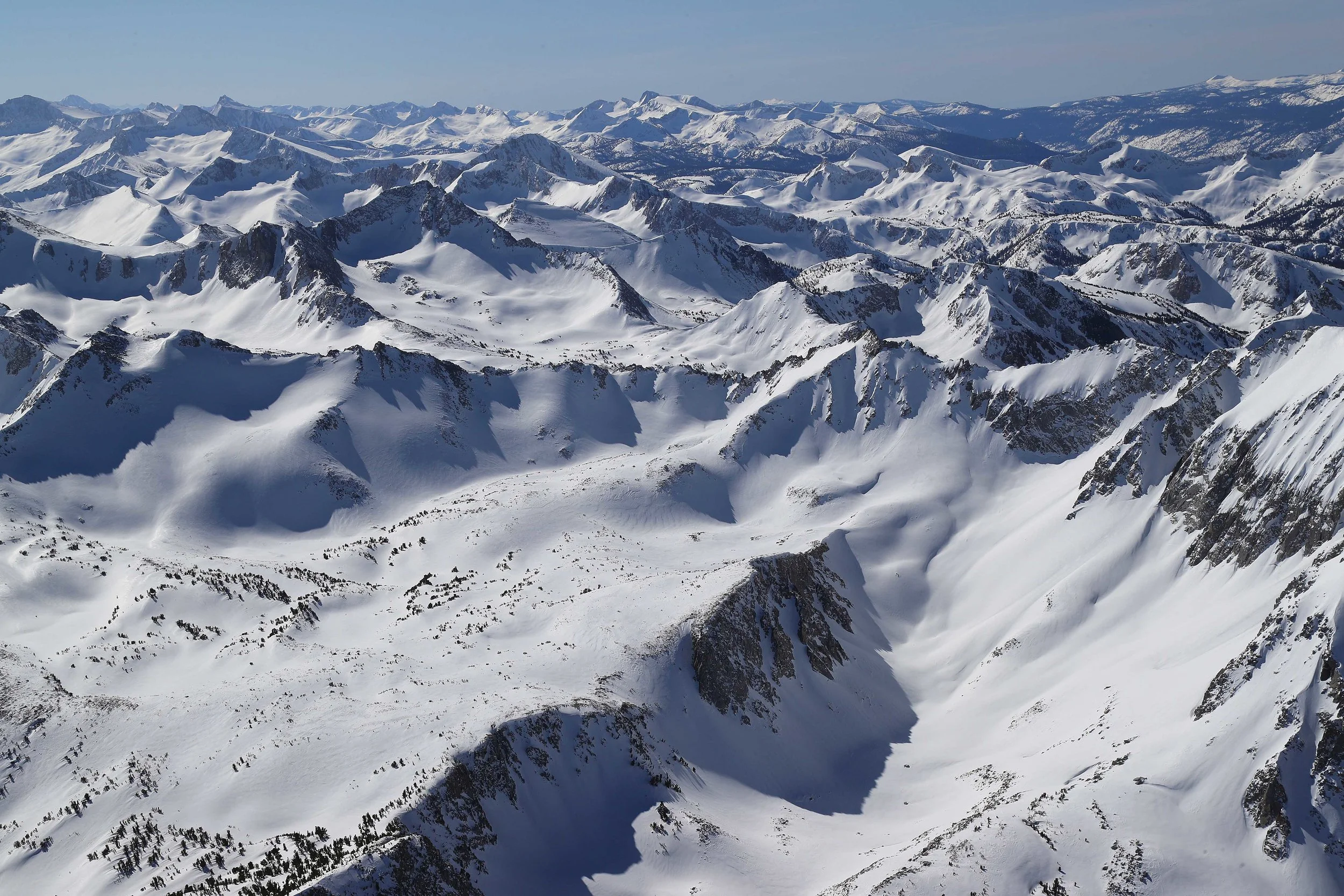
Building on a 7-year legacy with the NASA Jet Propulsion Laboratory, Airborne Snow Observatories Inc. is uniquely positioned to provide basin-scale inventories of mountain snow water resources worldwide.
ASO technologies and applications have been developed in close partnership with water managers in the western US – these enduring and evolving partnerships remain a core strength of our approach to water management decision support.
With industry-leading geospatial technology, innovative leadership and application support, and the exclusive license to the data processing workflow we developed at JPL, ASO Inc. is leading the deployment and integration of this paradigm-shifting approach to snow water resource monitoring and management.
Mission
To provide highly accurate and reliable basin-wide distributed measurements of snow water equivalent and forecasts of snowmelt runoff with unique remote sensing and physical modeling, allowing the global water community to make the best use of our planet’s water resources.
Goals
Our goals address our mission statement by implementing the technology we originated at the NASA Jet Propulsion Laboratory for customers worldwide who need accurate, spatially distributed snow measurements for water management and scientific investigations.
01. MEASUREMENT
Accurate snow depth, snow water equivalent, and snow albedo measurements across entire watersheds.
02. MODELING
Constraining physically based, distributed snow modeling for accurate daily representation of snow mass and energy states.
03. forecasting
Accurate snowmelt runoff forecasts at daily to seasonal time scales from physically based and empirically based model structures.
04. RAPID DELIVERY
Providing rapid turnaround of snow property measurements, snowpack modeling, and streamflow forecasts to support active, critical water management.
“[ASO] is, without a doubt, the most significant development in the history of snow surveys.”
FRANK GEHRKE, 30-YEAR CHIEF CALIFORNIA COOPERATIVE SNOW SURVEY PROGRAM
History
The early means for field snow measurement commenced with the near-simultaneous invention of the snow measurement tube by Dr. James E. Church and Robert E. Horton in the United States in the early 20th century. In the 1980s, the introduction of the in-situ snow pillow began to supplement snow courses with near real-time snow water equivalent (SWE) measurement, but with minor advances in forecast reliability. This combination of measurement infrastructure and empirical modeling has done fairly well in an average water year (seasonal forecast within a few percent error). However, for example in the American River of California, the uncertainties in quantifying total snowpack from such sparse measurements results in snowmelt runoff forecast accuracies of less than 80% in half of the years and less than 60% in a fifth of the years. Such errors when combined with tighter supply/demand margins impair the ability of water management entities to deliver on their obligations for both water supply and flood mitigation, markedly reduce hydroelectric generation efficiency, cost order hundreds of million $ in unnecessary groundwater pumping or opportunity loss, and thus are no longer acceptable or affordable.
In 2010, Dr. Thomas Painter was recruited to the NASA Jet Propulsion Laboratory to lead the development of the program that would become the NASA Airborne Snow Observatory. He and his ASO team, along with partnership with the California Department of Water Resources, began in 2013 the breakthrough measurements and modeling of mountain snowpack that led to the first maps of distributed snow water equivalent across entire mountain basins. These measurements led to seasonal runoff forecasts with accuracies of 98% or better across the range of years from worst on record through average to top three in snow accumulation. At the close of the NASA program in 2019, the ASO span had reached large basins in the California Sierra Nevada, Colorado River Basin, Rio Grande of Colorado, Snake River Basin of Idaho, Deschutes River Basin of Oregon, and the Swiss Alps.
In 2019, Dr. Painter, Dr. Joe Boardman, Dr. Jeff Deems, and Pat Hayes founded Airborne Snow Observatories, Inc. to transfer the NASA technology to commercial operations available around the globe.